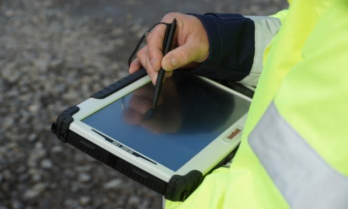
A Buyer’s Guide to Fixed-Wing Drones for Professional Use
What you need to know when you are looking to invest in fixed-wing drone technology for your surveying business.
SmartPlanes offers a range of innovative drones for aerial mapping, surveying, remote sensing and surveillance that deliver efficient and safe results.
You have successfully submitted your enquiry. Someone from our company will respond ASAP
SmartPlanes offers a range of innovative drones for aerial mapping, surveying, remote sensing and surveillance that deliver efficient and safe results.
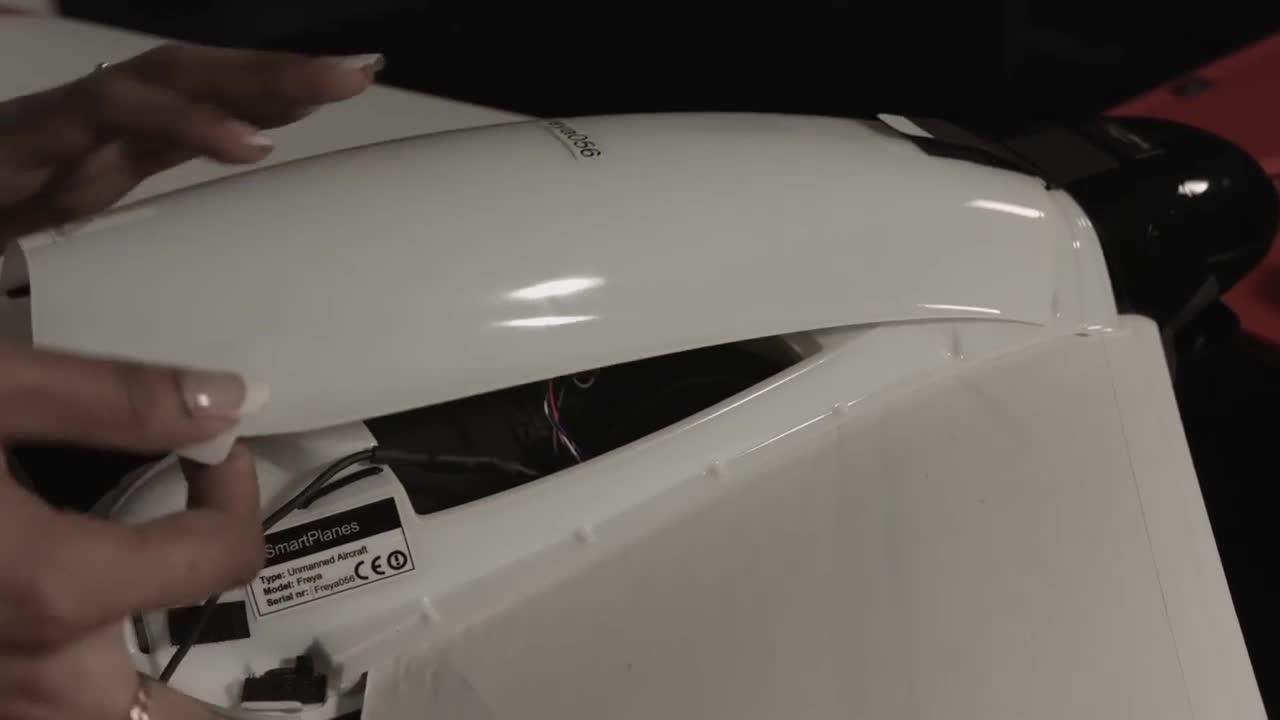
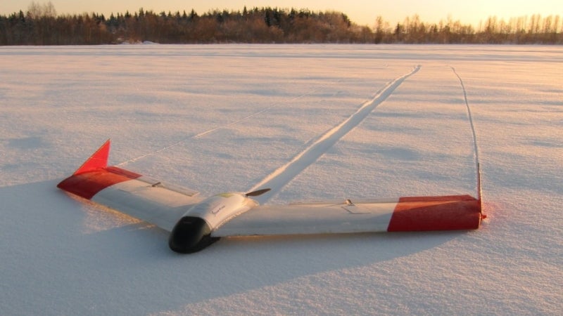
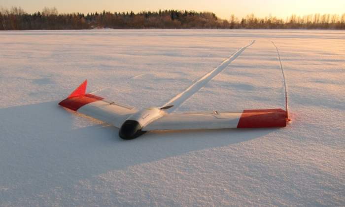
SmartPlanes Freya is a micro-class unmanned aerial vehicle (UAV) weighing approximately 1.3kg, which supports several different telemetry frequencies. It is designed for challenging environments and applications.
The importance of a micro-class drone is that it complies with most of the regulatory demands existing globally, as it is often the only type of aircraft allowed to be flown over populated areas and without regular pilot licences.


From a military perspective, the plane can be used for military land surveying and intelligence gathering.
With regards to military land surveying, SmartPlanes mostly considers the corps of engineers’ type of activities, for example, road construction, bridges, dams and wildfires and floods.
PhotoMesh software from our partner Skyline Software Systems enables 3D models to have a high level of detail during reconstruction.
PhotoMesh has state-of-the-art tiling mechanisms for both aero-triangulation and 3D reconstruction, allowing distributed processing either over multiple machines, servers, or even in the air. This decreases processing time, resulting in faster turnaround times for projects.
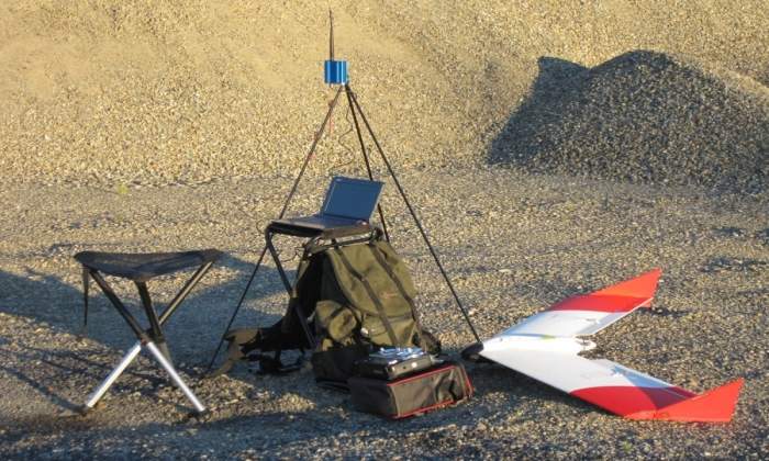
The Unmanned Aerial System (UAS) is a one-man deployment system and can be carried in an acrylonitrile butadiene styrene (ABS) plastic backpack container in the field.
Key features include:
The SmartPlanes’ system comes with a range of available sensors, in particular for military purposes:
SmartPlanes offers optional colour schemes, with larger purchase orders.
The SmartPlanes fixed wing micro-class drone has a number of advantages over a multi-rotor, micro-class drone, including:
SmartPlanes is a Swedish-based company that was established in 2005 from the Remote Sensing Laboratory at the Swedish University of Agricultural Sciences, Umeå.
SmartPlanes was created to efficiently map crops, mining sites, quarries, forests and construction sites and as a result, produces precise, reliable and safe drones.
What you need to know when you are looking to invest in fixed-wing drone technology for your surveying business.

Looking at the drone industry today, there is an obvious trend towards multi-rotors being used for increasingly diverse types of workload. We also see how multi-rotors represent a significant share of the market.
SmartPlanes will be showcasing its range of solutions at this year's Intergeo in Berlin, Germany.
Unmanned aerial systems (UAS) are spreading and gaining recognition in several worldwide industries. Businesses operating in sectors such as surveying, forestry, mining and agriculture have begun to realise the substantial value of investing in modern drone technology instead of continuing with traditional methods.
When disaster strikes, and a person, or several, gets lost while exposed to life threatening conditions, search-and-rescue (SaR) teams might need to scan vast areas in search for evidence of victims. For this purpose, unmanned aerial vehicles (UAVs) equipped with remote-sensing devices can be programmed to fly predefined search patterns, and collect various types of images.
SmartPlanes is pleased to announced that our fixed-wing UAV performed to a high standard during tests conducted by Nasa at Reno. Our partner, Carbon Autonomous Systems, was also involved in the success.
Farmers and researchers within the agriculture industry are starting to adopt UAS technology in light of recent technology advancements in small UAS and reasonable access to affordable sensors.
Last year, SmartPlanes initiated a discussion of what unmanned aerial vehicle (UAV) beyond visual line-of-sight (BVLOS) flights were really about, and how it would impact the industry.
SmartPlanes has announced that its Freya UAV is included in UAS Traffic Management (UTM) R&D Technical Capability Level 3 (TCL 3) project by Nasa, at the FAA-designated UAS test site in Nevada, US.
Smartplanes, a producer of high-end professional drone systems for survey-grade photogrammetric mapping, and Septentrio, a producer of high-performance satellite navigation products, launched a new post processing kinematic (PPK) GNSS unit at the 2016 Commercial UAV-show in London.
After presentations held with Virginia Commonwealth University (VCU) and the US Army Corps of Engineers (USACE), SmartPlanes has received orders for its fixed wing Unmanned Aerial Systems (UAS) Freya, equipped with multiple sensors.