Team Socrates, a Lockheed Martin UK information systems and global solutions (IS&GS)-led industry team has delivered a set of new geospatial intelligence (GEOINT) technology and services to the UK Army, to help enhance its situational awareness.
Developed under the future deployable GEOINT (FDG) programme, the system is designed to provide UK soldiers with field deployable GEOINT exploitation and map production capabilities to support strategic to tactical level missions.
Go deeper with GlobalData

Discover B2B Marketing That Performs
Combine business intelligence and editorial excellence to reach engaged professionals across 36 leading media platforms.
Scheduled to be provided the to the UK’s joint force intelligence group (JFIG), the FDG system will allow commanders to dynamically and quickly brief and equip their frontline troops for operations through an up-to-date, customised and digital GEOINT.
The capabilities include a tactical information and geospatial analysis system (TIGAS) technology, which can extend current battlefield GEOINT capabilities, besides upgrading digital geoservers, initially introduced under urgent operational requirements (UORs), with new virtualised variants.
Claiming the technology to be capable of taking the GEOINT collection, dissemination and effectiveness on the battlefield to a new level, Lockheed Martin UK information systems and global solutions commercial geospatial intelligence director, Andy Hannam, said: ”There is already strong overseas interest in the technology.”
An unnamed Ministry of Defence (MoD) Defence Equipment and Support (DE&S) IMaGE Delivery Team spokesperson said the FDG is a critical project that provides the MoD with improved and enhanced tactical GEOINT capabilities.
”Having achieved initial operating capability (IOC) in August, the system is now available for tasking,” the spokesman said.
The FDG system also features a 11 Mowag Duro II 6×6 vehicles fleet that act as a two-man tactical exploitation working environment and can also be used for tactical information collection and GEOINT analysis.
With Lockheed as prime and overall systems integrator, Team Socrates also includes Marshall Land Systems, SCISYS, KNK, Polaris Consulting, as well as safety assurance services.
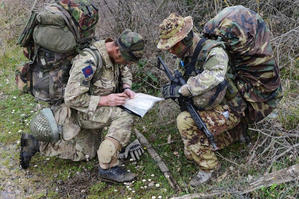
Image: Team Socrates’ new GEOINT capability will enhance UK Army’s situational awareness during combat. Photo: copyright of Crown.