The UK’s Defence and Security Accelerator (DASA) has awarded contracts worth a total of £1.3m for the development of semi-autonomous reconnaissance and survey systems.
These systems will help troops to stealthily and safely move into enemy territory across water obstacles such as rivers.
Go deeper with GlobalData

Discover B2B Marketing That Performs
Combine business intelligence and editorial excellence to reach engaged professionals across 36 leading media platforms.
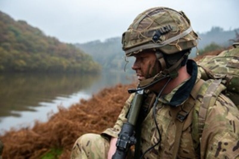
Royal Engineer reconnaissance troops currently survey both banks of the river, which exposes them to danger and compromises the operation by raising interest in the location to the enemy.
According to DASA, the aim is to remove personnel from such dangerous tasks with a remote system and increase the choices to commanders while surprising the enemy.
Run on behalf of the Defence Science and Technology Laboratory (Dstl), Map the Gap competition announced in December 2019 it had sought ideas from industry and academia for the development of a new remote system that can survey potential crossing sites by collecting data about the river banks.
British Army Ground Manoeuvre Capability assistant head for manoeuvre support ground Colonel Simon Bradley said: “We are hugely excited by the benefits the Map the Gap project may realise. The reconnaissance of multiple potential crossing sites at the forward edge of the battle exposes soldiers to significant risk.
“Replacing and/or augmenting manned reconnaissance with a remote, beyond line-of-sight system will not only reduce the threat to life; it will also offer the ability to survey multiple crossing sites in a far more timely and efficient manner.
“In turn, this will provide greater choice to ground commanders and more opportunities to out-manoeuvre our opponents. It will be a force multiplier for our next generation bridging systems.”
Phase 1 funding from the competition was awarded to five small and medium sized business. This funding will help the companies to pace up their innovative solutions and test with the British Army.
Scytronix received funding of £251,900 for a proposal on a drone mountable crossing assessment system that makes use of low frequency electromagnetic scanning techniques.
Wight Ocean secured £309,282 to develop an amphibious bottom crawler that can navigate and transit water crossing to collect near real-time data, which can be used for analysis.
Funding of £272,656 was given to Nordic Unmanned, which has to demonstrate unmanned aerial systems sensors, data exploitation, and a semi-autonomous capability for engineer reconnaissance.
Digital Concepts Engineering received £331,133 to develop an unmanned ground vehicle and a drone ‘team’ with several sensors to collect and present data.
Funding totalling £177,789 was awarded to Foundry Cube, which in collaboration with Ultrabeam Hydrographic has to demonstrate an autonomous and amphibious hydrographic survey vehicle that is similar to a pedalo whilst using novel techniques tools and sonar and lidar technologies.
A further £2.5m is anticipated for development in Phase 2.