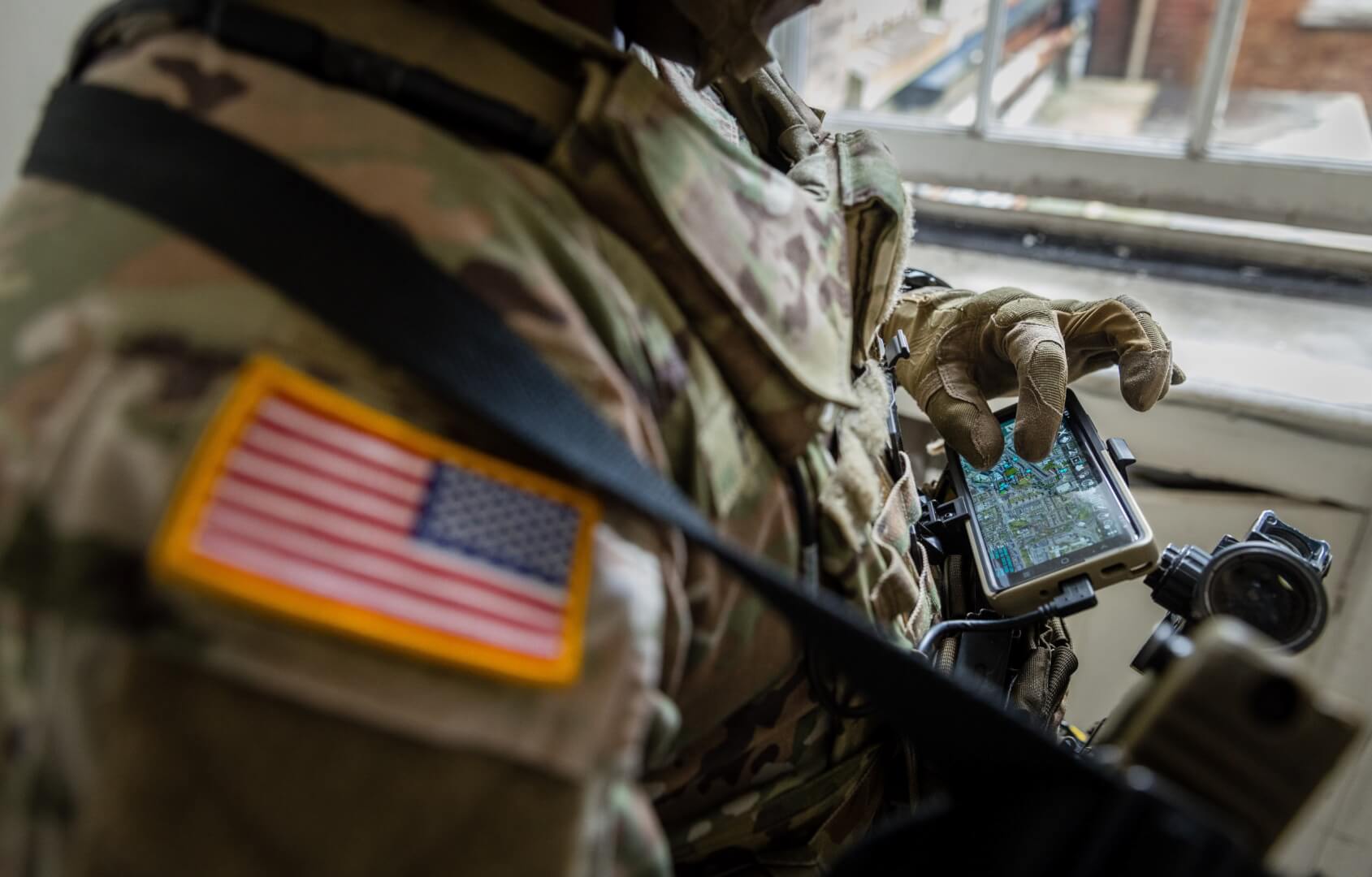
Soldiers from the British Army have carried out a series of extensive trials with the Footprint navigation system, developed by Israeli company Rafael.
Announced by Rafael in a media release, the tests were conducted to assess the system’s capabilities in GPS-denied environments.
Go deeper with GlobalData

The recently conducted test series fall under different initiatives of the UK Ministry of Defence, including Army Warfighting Experiment, Future Capability Group, and Defence Science and Technology Laboratory efforts.
As part of the test, the ground troops operated the Footprint system in simulated modern mission scenarios. They were executed between and inside the buildings, as well as in open areas and basements.
During the entire mission, Rafael’s navigation system was connected to a civilian team awareness kit system that permitted the forces to stand in different locations to perform the required tasks.
The company reported that the system was successful in providing accurate pictures of all the locations where the troops were deployed.
How well do you really know your competitors?
Access the most comprehensive Company Profiles on the market, powered by GlobalData. Save hours of research. Gain competitive edge.

Thank you!
Your download email will arrive shortly
Not ready to buy yet? Download a free sample
We are confident about the unique quality of our Company Profiles. However, we want you to make the most beneficial decision for your business, so we offer a free sample that you can download by submitting the below form
By GlobalDataThe pictures were used by the commanders to obtain a detailed understanding of the operational situation.
Soldiers were also able to use the system for navigating and self-positioning during missions where GPS access was unavailable.
Rafael Multi-Domain Warfare Directorate head Shmuel Olansky said: “We are proud to see how UK soldiers could use Footprint to complete their mission and demonstrate precisely how this solution provides a crucial edge in the modern battlespace.
“Footprint will allow a higher command to better direct its troops and help prevent cases of friendly fire in complex spaces.”
Rafael’s Footprint is used by troops on the ground for accessing real-time, precise, self-positioning information in GPS-denies areas. It can also be used with existing communication systems.