SOMAG AG JENA
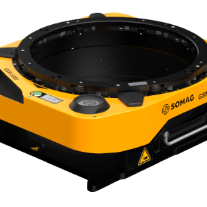
Multi-Sensor Aerial System Stabilised by GSM 4000
Cooper Aerial Surveys was contracted by Helm Engineering to provide aerial lidar mapping of the Pahrump site for a flood study over the entire Nye County. Pahrump is a town located at the southernmost tip of Nye County, Nevada, about 62 miles (100km) west of Las Vegas, adjacent to the Nevada–California border. The results of this survey help mitigate flood damage for existing and future projects.