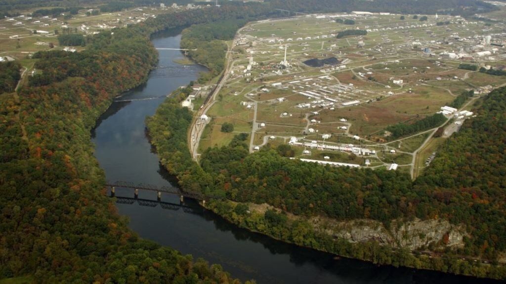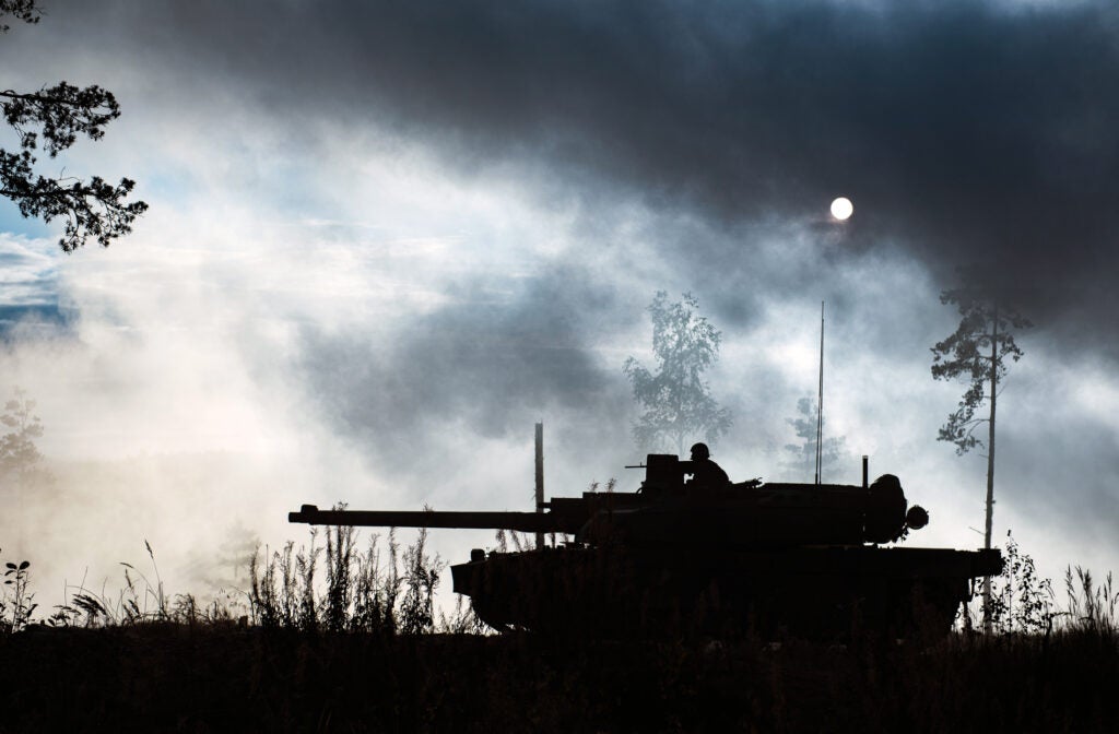
US Army researchers are developing new littoral and inland mapping tools to tackle anti-access, area-denial (A2AD) threats posed by enemy forces.
Enemy units use A2AD methods either to slow or stop an invasion by placing mines in the seabed near the shore and concealing forces inland, the army stated.
The Engineer Research and Development Center (ERDC) has developed a range of imaging sensors that can operate at night and during storms to detect mines hidden underwater.
ERDC is an organisation developed by the US Army Corps of Engineers.
The sensors use video and radar to quickly map the underwater terrain, measure speed, direction and shapes of waves. This accurately portrays the underwater environment.
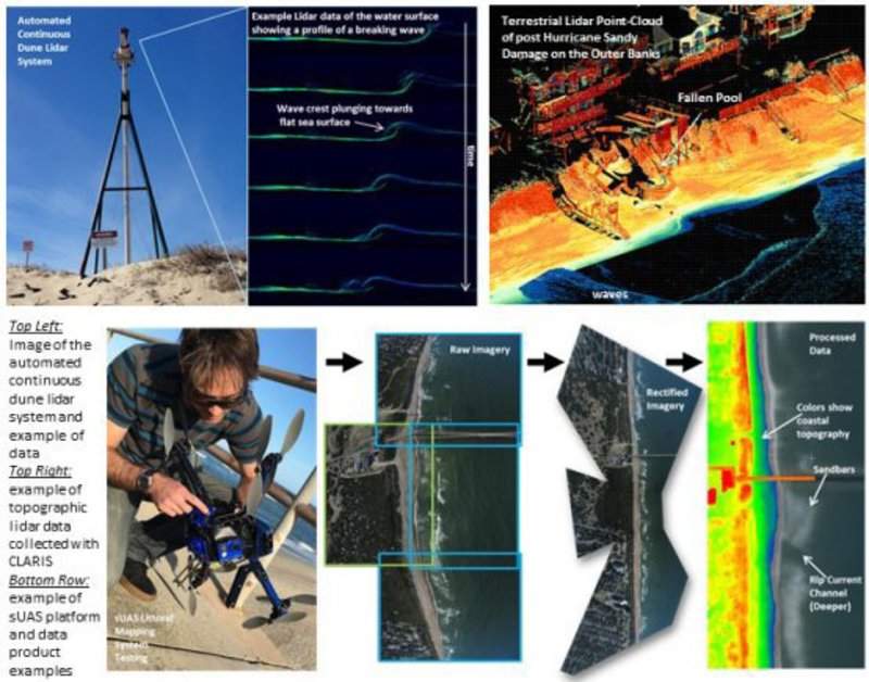
Data is collected using unmanned aerial vehicles (UAVs) equipped with one or multiple cameras.
How well do you really know your competitors?
Access the most comprehensive Company Profiles on the market, powered by GlobalData. Save hours of research. Gain competitive edge.

Thank you!
Your download email will arrive shortly
Not ready to buy yet? Download a free sample
We are confident about the unique quality of our Company Profiles. However, we want you to make the most beneficial decision for your business, so we offer a free sample that you can download by submitting the below form
By GlobalDataAdditionally, a 3D terrain visualisation system is being developed to help guide soldiers to their destination along the safest route on land.
The system uses two types of sensors for collecting data which include light detection and ranging (LIDAR) and video, which can be mounted on a small UAV.
Researchers have also incorporated acoustic and seismic sensors into the mapping process.
These sensors send signals directly to the same 3D map and provide additional information about enemy movement. They are activated after being placed by a reconnaissance unit or UAV.