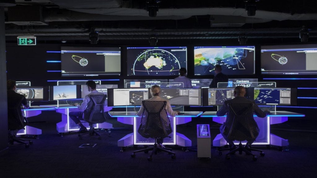
The Russian Central Research Institute of Economics, Computer Science and Management Systems is developing special interactive sensor tables to control the combat activities of the Russia Armed Forces.
The institute’s deputy head of development Dmitri Petrov was quoted by RIA Novosti as saying that the university has designed a geographical information system (GIS), called Position.
Go deeper with GlobalData

"The ‘Position’ system is intended for the creation, storing, processing and generating [of] different types of geo information data, as well as the development of specialised software and solving analytical tasks," Petrov said.
Geo information systems collect, store and analyse visualisations of geographic data.
Based on the ArcGIS programme complex, which works in secured operational systems with the preset protected system of database management, Position currently exists only in the stationary format.
See Also:
The stationary versions may feature less solid materials, and therefore could not fulfil battlespace requirements.
How well do you really know your competitors?
Access the most comprehensive Company Profiles on the market, powered by GlobalData. Save hours of research. Gain competitive edge.

Thank you!
Your download email will arrive shortly
Not ready to buy yet? Download a free sample
We are confident about the unique quality of our Company Profiles. However, we want you to make the most beneficial decision for your business, so we offer a free sample that you can download by submitting the below form
By GlobalDataPetrov also said that the university has already created a working group to design interactive tables that could be made in several ways.
"After consultations with the representatives of several departments, we found demand for this product," Petrov added.
The institute is also developing an automated resource provisioning system to help the Russian Defence Ministry increase the transparency of acquisitions and help authorities keep records, according to RIA Novosti.
Position, combined with the automated control system, is expected to enable comprehensive control of all military resources from Kaliningrad to Vladivostok, and will be implemented by 2017.