TerraGo has been selected to supply software for the US Army’s distributed common ground system (DCGS-A) programme.
Go deeper with GlobalData

The company will supply its GeoPDF technology, which is designed to provide geospatial intelligence to remote warfighters, anywhere, even without network connectivity.
The technology expands the georeferenced intelligence products availability to army personnel without the requirement for expensive or complex geospatial tools on their desktops, field-deployed laptops and mobile devices.
TerraGo DoD programmes director Scott Lee said the company’s industry partnership with the army that began in 2007, continues to generate numerous innovations for geospatial integration and collaboration capabilities.
"TerraGo’s support for the army is at the heart of our mission – building advanced technologies that make it simple to share geospatial intelligence with anyone, anywhere, on any device,” Lee said.
How well do you really know your competitors?
Access the most comprehensive Company Profiles on the market, powered by GlobalData. Save hours of research. Gain competitive edge.

Thank you!
Your download email will arrive shortly
Not ready to buy yet? Download a free sample
We are confident about the unique quality of our Company Profiles. However, we want you to make the most beneficial decision for your business, so we offer a free sample that you can download by submitting the below form
By GlobalDataSee Also:
Created by TerraGo software applications, GeoPDF refers to map and imagery products that use geospatial PDF as a container for maps, imagery, and other data to deliver an enhanced user experience in TerraGo applications.
GeoPDF is capable of enhancing the army’s situational awareness and decisions making capability by enabling intelligent 2D and 3D maps and imagery sharing between the intelligence analysts and geospatial engineers.
In addition, the software integrates seamlessly with BAE Systems-built SOCET GXP environment to enable army intelligence analysts to directly disseminate intelligence from DCGS-A workstations to soldiers and commanders, irrespective of their location.
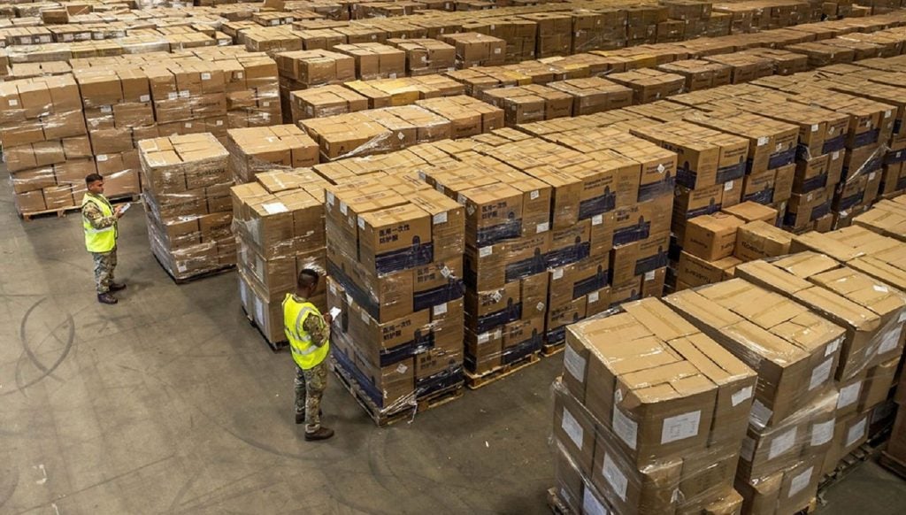
The DCGS-A is the army’s primary system to post data, process information, and disseminate intelligence, surveillance and reconnaissance (ISR) information about the threat, weather and terrain to intelligence analysts and commanders.
Image: DCGS-A offers commanders the ability to task battle-space sensors and receive intelligence information from multiple sources. Photo: courtesy of US Army.